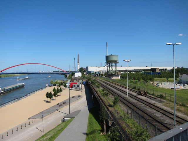
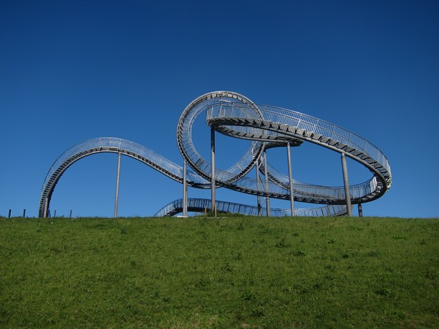
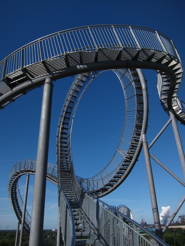
This post is an overview of one of my last visits to Duisburg Angerpark / Heinrich-Hildebrand-Höhe 📌 and Rheinpark 📌 by bike. And this is also an experiment to visualize the GPX track I recorded during the tour.
A comfortable web interface to the GPS Track is available from Garmin. But I can only link to their website - wordpress does not like the iframe tags to embed their map into this post.
Another possibility is to use the OSM Wordpress Plugin to embed a map from Openstreetmap. It works quite well, but the interaction with the map (panning, zooming) seems to be a bit slow if the gps track has many points.
(Update 2020-0214: As I switched from Wordpress to Pelican, the plugin cannot be used here anymore)
And here are a few pictures:


